
Land Kit 2.0 BETA
Welcome to the Land Kit 2.0 BETA!
Land Kit 2.0 is a big update and we wanted to get you up to speed! If you are trying out the Land Kit 2.0 BETA this month (Pro users, feel free to request a BETA directly.), we wanted to give you an overview of the various features and updates to explore. Land Kit 2.0 offers a range of new functionality and speed improvements that you may have already noticed. 👀
Universal Areas
One of the most important parts of landscape design is the site plan. Previous versions of Land Kit generally assumed site plans were just an input. But Land Kit 2.0 puts site layout at the center of everything with Universal Areas.

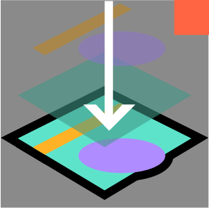


Remember the old way of creating paving areas, topo areas, planting areas with separate area types? Well, now all Land Kit Areas are a single area type that more components in the Land Kit tool set can read universally!
Once you create areas from surfaces or boundary curves, you can process and sort them by name for different purposes like collaging, clipping, planting, paving, projecting, or creating volumes. New outputs like section cuts and line work, in addition to hatches can be identified at any point in your design process. Also, areas now can have holes! 🧀 You can collage, clip, pave, plant, and project areas with holes.
A Palette of Functionality
All of Land Kit’s components have been pulled into one glorious palette. No longer will you need to search between the various tabs in Grasshopper to reach for components, because we have reorganized the layout to include all the components in a single toolbar tab. Find Areas components in one section and analysis in another. The inter-connectivity of the tools between each of the tool sets lends itself to this new layout. And the new color palette and redesigned icons look great. Brighter and bolder!

Processing Improvements
Speed and efficiency are some of our primary aims for every aspect of Land Kit. Through the process of updating and creating some of our new components, performance improvement opportunities were discovered and applied to many features of Land Kit 2.0! So this is our biggest improvement in processing speeds and reliability yet. Enjoy smoother sailing! ⛵️
New Components
A range of new components now make it possible to achieve many functions you were missing or didn’t even know you were missing.
New tools include:

Universal Bake: Bakes AND previews geometry in a single component eliminating the need for other plugins and extra preview components. This component replaces 3 to 4 components in many instances across all of our workflows and possibly yours. Inputs into this component are easy to understand and work seamlessly with the outputs from the Land Kit components (geometry, layer, color, keys, values, bake_name, BAKE).
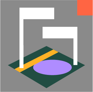
Clip Areas: Use this component to draw a boundary in plan view for clipping your site plan or region of areas. Finalize the exact boundary needed during or at the end of your modeling process allowing you to be more loose with the boundary of your site collaging earlier on.
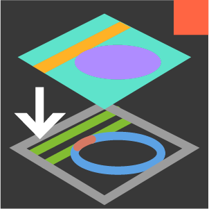
Sections: Draw as many sections, oriented however you like in plan and watch the sections cuts update in realtime! This component will even keep track of the materials and layers so can see area delineations within the section in addition to topographic changes.
Paving Along a Path: Building a winding path and need the pavers to follow the curvature of the path? This component solves this complicated task with ease, allowing you to represent and document your unique paving designs accurately. 4 different styles allow you to customize the coursing and to also use this tool for edging.

Cut sections anywhere and everywhere.

Create plant lists with AI and populate your site with our rules-based system.
AI Plant Lists: With the availability of inexpensive AI tokens, use your own OpenAI API key and provide a prompt describing the types of plants and their relevant characteristics. This component then generates a list of Land Kit plants to use in your planting scripts/workflows! An excellent new exploratory tool for rapidly generating plant lists in early design phases.
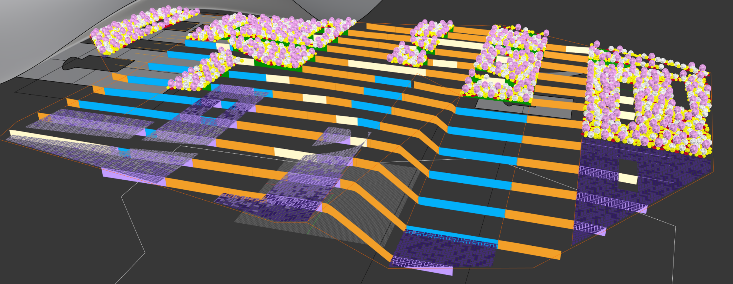
2D and 3D Plant Representations: Explore new visualization outputs from the planting components creating unique 2D and 3D symbols of plants in different styles.

3D plant form will help with better sun-shade analysis and to help relax your imagination.
Add Layer by Formula: Want to create an analysis layer of your own and generate GIS-level analysis during your design and modeling process? Guess what, now you can! This component allows you to perform Math-Algebra-type operations (for the ArcMap GIS nerds out there), meaning you can process existing analysis layers through this component to combine and modify those inputs to create a whole new customized analysis or suitability layer.
New icon updates: Enjoy more unified and vibrant icon styles and colors. The new look reflects our ethos about the future of design: Bolder and Brighter.


Updated Workflows
With the addition of these new features and speed improvements, we have already begun modifying the Land Kit “Pro” Workflows to accommodate the new components, functionality, and with fewer plugin needs.
Do not miss out on a chance to explore and utilize this new approach to landscape modeling! With a range of support options (Video, descriptions, Office Hours, etc.) for learning and gaining your bearings, all these new features and speed improvements make Land Kit 2.0 our biggest update yet.
Give 2.0 a try and let us know how it’s going. Don’t forget to let us know about any bugs 🐛.

Rapid iteration is the name of the game.