Pro Water Workflow (1.3)
This workflow requires a Land Kit Pro Key
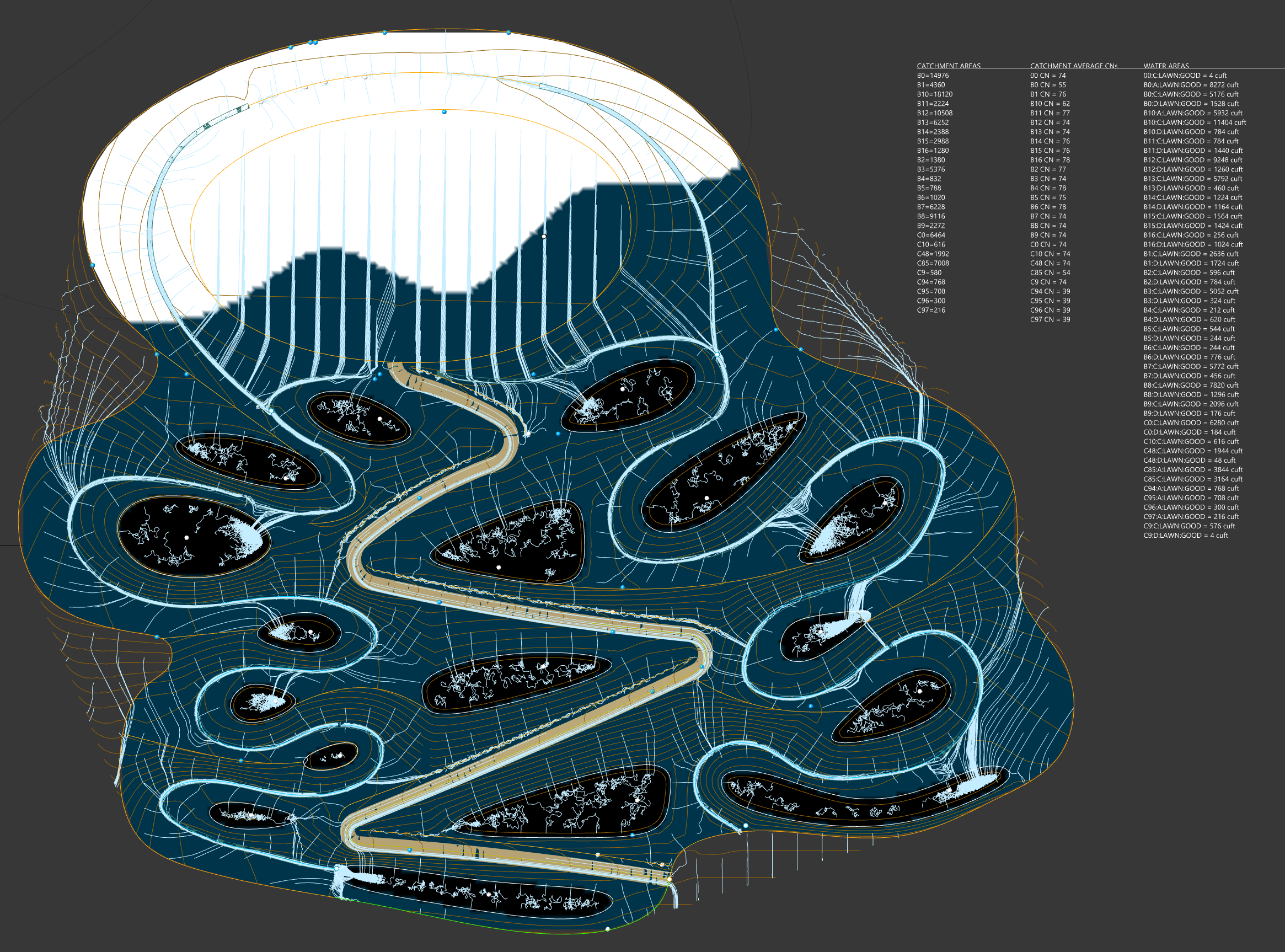
The Pro Water Workflow allows you to simultaneously input and adjust topo using different geometry options (mesh, points, contours, breaklines) and define paths, swales, and basins parametrically, while at the same time, allowing you to understand waterflow across the site as well as the calculation of water volumes based on TR-55 principles. Calculate catchments and define different hydrolic soil groups and groundcover for more accurate calculations. CN calculations can be exported to a CSV file.
Calculate static storage volumes of basic basins. Export catchments as shapes. Visualize different data layers and more.
No Grasshopper knowledge required.
What’s in the Package?
Rhino File (.3dm)
Grasshopper File (.gh)
Help PDF
README File (.txt)
Workflow Screenshots:


