Land Kit 1.2
Traveling at light speed,
Land Kit 1.2 bolsters performance,
while introducing Water Kit!
Water Kit - Understanding your Impact
Whether you’re just getting your toes wet or diving in, Water Kit has the tools you need to help you understand water.
Dipping your toes in:
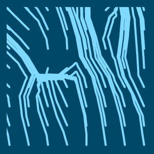
Flowlines - Trace water on your site with new and improved flowline fidelity!
Upslope Area - Find what areas contribute to runoff on your site with a refined Upslope Areas tool!
Add Catchment layer - Discover where water settles on your site!
What’s your footprint?
Carbon Calculator BETA - Find out how your site contributes to carbon over time!
Add CSV Data - Bolster your plants and areas by adding carbon calculation values and more!
Diving in (components available with a Pro Key license):
CN Calculator BETA - Calculate TR-55 Curve Numbers. A simple solution for a complicated job!
Add Static Storage Layer - Determine how much static water storage there is in selected areas.
Add Diffuse Layer - Blur an environment layer.
Add Layer Overlay - Combine index layers using a master overlay layer!
Add Occurrence Layer - Tally the density of flowlines on your site.
But that’s not all. Land Kit 1.2 has the need… for speed!
With performance improvements and new components and features, Land Kit will help you visualize and iterate your designs, faster.
Environment Improvements
Analyze your site 2x to 5x faster in real time, all while you design!
Draw Layer as Mesh - Overall speed and functionality improvements, and now includes Boundary Trimming.
Draw Layer as Shapes - Turns your environments into shapes for easier visualization.
Create a garden of forking data; environment data handling is now more flexible than ever.
Paving Kit - Productivity Improvements
NEW Rationalize Pattern Component! How do we document those custom patterns? Land Kit has you covered with rationalization and visualization of percentage-based layout strategies.
Fast as the wind - Paving Kit now runs 2x to 5x faster for most components!
Topo Kit - Performance Improvements
Boundaries are now faster.
Other_Geo can now include SubD objects in Geo Sets!
Plant Kit - Colorful Tweaks
Assigning colors to plants in your CSV is now easier than ever! Plant Kit now accepts RGB values (“255, 255, 0”) AND Hexidecimal values (#FF9900).
Add Shape Layer now accepts Surfaces and Topo Kit Areas in addition to curve boundaries.
More…
Land Kit Help Component Simplified - Need help? No worries! From reporting a bug to guiding you to helpful resources, the Land Kit help component is easier than ever to navigate.
And last but not least, various Bugs have been tackled and fixed!
